Caribbean countries flags: The Caribbean, a vibrant and diverse region of the Americas, encompasses the Caribbean Sea, its surrounding coasts, and the multitude of islands scattered throughout its expanse. Some islands lie entirely within the Caribbean Sea, while others straddle the boundary where the Caribbean Sea meets the North Atlantic Ocean. This region, situated southeast of the Gulf of Mexico and the North American mainland, extends east of Central America and north of South America. The strategic location of the Caribbean makes it a crossroads of cultural and ecological diversity, influenced by its proximity to these larger landmasses. The region’s complex geography includes both coastal and insular components, contributing to its unique identity and allure.
The Caribbean Plate and Island Arcs
Predominantly resting on the Caribbean Plate, the region boasts over 700 islands, islets, reefs, and cays. These landforms are cataloged in the extensive list of Caribbean islands. Three prominent island arcs outline the eastern and northern perimeters of the Caribbean Sea: the Greater Antilles to the north, the Lesser Antilles, and the Leeward Antilles to the south and east. These arcs form a natural boundary that helps define the Caribbean’s geographical limits. Additionally, the Lucayan Archipelago, although not directly within the Caribbean Sea, is often associated with the region. Collectively, these island groups are known as the West Indies, a term that underscores their interconnected nature and historical significance.
Inclusion of Peripheral Islands and Mainland Areas
While the Bahamas and the Turks and Caicos Islands are geographically outside the Caribbean Sea, they are commonly included in discussions about the Caribbean due to their close cultural and political ties to the region. Similarly, several mainland areas of South and Central America are considered part of the Caribbean because of their strong connections to the area’s cultural and political milieu.
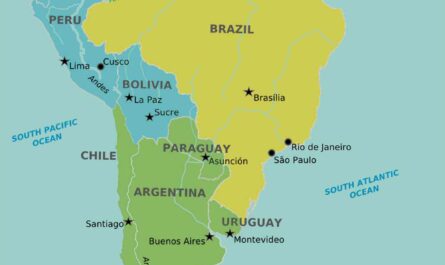
This extended Caribbean region includes Belize, Nicaragua, the Caribbean coast of Colombia, Cozumel, the Yucatán Peninsula, Margarita Island, and The Guianas (Guyana, Suriname, French Guiana, the Guayana Region in Venezuela, and Amapá in Brazil). These areas share a Caribbean identity that transcends geographical boundaries, united by historical, economic, and cultural threads.
Tropical Climate and Environmental Challenges
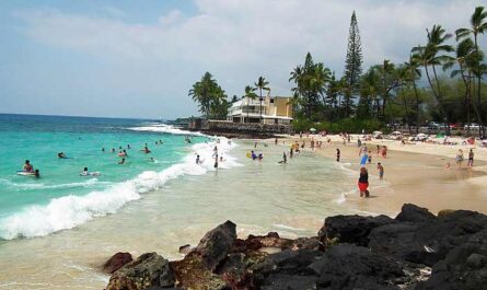
The Caribbean’s predominantly tropical geography shapes its climate, which is heavily influenced by sea temperatures and precipitation patterns. This warm, humid climate is ideal for the region’s lush vegetation and diverse ecosystems. However, it also makes the area susceptible to hurricanes, particularly during the hurricane season, which can result in significant natural disasters.
These storms can cause widespread damage, impacting communities, infrastructure, and economies. Despite these challenges, the resilient spirit of the Caribbean people and their rich cultural heritage continue to thrive. The region’s natural beauty and vibrant culture attract millions of visitors each year, drawn by the promise of tropical paradises and warm, welcoming communities.
Cultural and Historical Ties
The Caribbean’s rich cultural tapestry is woven from the threads of its diverse population and complex history. Indigenous peoples, European colonizers, African slaves, and Asian laborers have all contributed to the region’s unique cultural blend. This cultural diversity is reflected in the Caribbean’s languages, religions, cuisines, and traditions.
Each island and mainland area within the Caribbean has its own distinct identity, yet they all share a common Caribbean essence. This cultural richness, combined with the region’s natural beauty, makes the Caribbean a fascinating and vibrant part of the world. The interplay of cultural influences and historical experiences continues to shape the Caribbean’s identity, creating a region that is both unique and universally appealing.
Vulnerabilities to Climate Change
Due to its tropical climate and low-lying island geography, the Caribbean is particularly susceptible to numerous adverse effects of climate change. These effects include an increase in storm intensity, saltwater intrusion into freshwater sources, sea-level rise, coastal erosion, and variability in precipitation patterns. As global temperatures rise, the frequency and severity of hurricanes and tropical storms are expected to increase, posing significant risks to the region’s infrastructure and safety. Saltwater intrusion, caused by rising sea levels, threatens freshwater supplies essential for drinking, agriculture, and industry.
Coastal erosion undermines the stability of shorelines, endangering communities and ecosystems. Furthermore, changes in precipitation patterns can lead to prolonged droughts or intense rainfall, impacting agriculture, water availability, and overall environmental health. These climate-induced changes are poised to drastically alter the economies of Caribbean islands, particularly affecting the key sectors of agriculture and tourism. Both industries rely heavily on stable weather patterns and pristine natural environments, and their disruption could have far-reaching economic consequences.
Indigenous Inhabitants and European Colonization
The Caribbean has a rich history of human habitation dating back to at least 6000 BC, initially populated by indigenous peoples such as the Taino, Carib, and Arawak. These early inhabitants developed complex societies with distinct cultures and traditions. However, the arrival of Christopher Columbus in 1492 marked the beginning of a profound and tragic transformation for the region.
European colonization brought brutal labor practices, enslavement, and diseases that decimated the indigenous populations. Many islands saw a complete demographic shift as Europeans replaced the native inhabitants with enslaved Africans brought to work on plantations. This period of colonization and slavery laid the foundations for the Caribbean’s current demographic and cultural landscape, creating a legacy of resilience and rich cultural diversity.
Path to Independence
The Caribbean’s journey to independence has been long and complex, marked by significant milestones such as Haiti’s independence from France in the early 19th century. Haiti’s successful revolt against colonial rule was a beacon of hope for other enslaved and colonized peoples in the Caribbean and beyond. Throughout the 19th and 20th centuries, many Caribbean nations gradually achieved independence, often through protracted struggles against colonial powers.
The decline of slavery in the 19th century and a wave of decolonization during the 1950s and 60s saw numerous island nations gain sovereignty. However, the Caribbean’s proximity to the United States has also meant a long history of U.S. intervention in the region, influencing political and economic dynamics in various ways. Despite these challenges, Caribbean nations have forged their own paths, building vibrant cultures and economies that reflect their unique histories and identities.
Geopolitical Structure
The Caribbean islands, often referred to as the West Indies, are sometimes categorized as a subregion of North America. However, they are also frequently included in discussions about Middle America or considered a distinct subregion on their own. This geopolitical complexity reflects the diverse political statuses of the Caribbean territories, which include 30 different entities such as sovereign states, overseas departments, and dependencies.
This intricate mosaic of political affiliations underscores the region’s diverse colonial history and contemporary governance structures. Each territory has its unique relationship with former colonial powers and international partners, shaping their economic policies and cultural identities in distinct ways.
Historical Political Unions
From December 15, 1954, to October 10, 2010, the Netherlands Antilles existed as a country composed of five Dutch dependencies. This political entity represented an effort to unify these territories under a single administrative framework while maintaining their distinct identities. Similarly, from January 3, 1958, to May 31, 1962, the West Indies Federation was a short-lived political union of ten English-speaking Caribbean territories, all of which were British dependencies. Fitness – Meditation – Diet – Weight Loss – Healthy Living – Yoga
This federation aimed to foster economic cooperation and political unity among its members but ultimately dissolved due to internal disagreements and logistical challenges. These historical attempts at political unification highlight the ongoing efforts within the Caribbean to balance regional integration with the preservation of individual territorial identities. They also underscore the region’s complex colonial legacy and the diverse paths taken by Caribbean territories in their quest for self-determination and development.
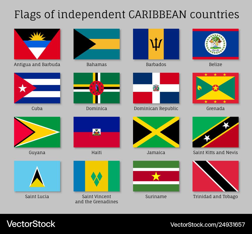
List of Caribbean Countries
- Antigua and Barbuda
- The Bahamas
- Barbados
- Aruba
- Bonaire
- Sint Eustatius
- Saba
- Curaçao
- Sint Maarten
- Saint Martin
- Guadeloupe
- Martinique
- Saint Barthélemy
- Dominican Republic
- Haiti
- Navassa Island
- Puerto Rico
- United States Virgin Islands
- British Virgin Islands
- Anguilla
- Cayman Islands
- Montserrat
- Turks and Caicos Islands
- Cuba
- Dominica
- Jamaica
- Grenada
- San Andrés and Providencia
- Federal Dependencies of Venezuela
- Nueva Esparta
- Trinidad and Tobago
- Saint Kitts and Nevis
- Saint Lucia
- Saint Vincent and the Grenadines

Next, we will discuss the list of the Caribbean countries’ flags:
Caribbean Countries’ Flags
 |
| Antigua and Barbuda |
|
 |
| The Bahamas |
|
 |
| Barbados |
|
 |
| Aruba |
|
 |
| Bonaire |
|
 |
| Sint Eustatius |
|
 |
| Saba |
|
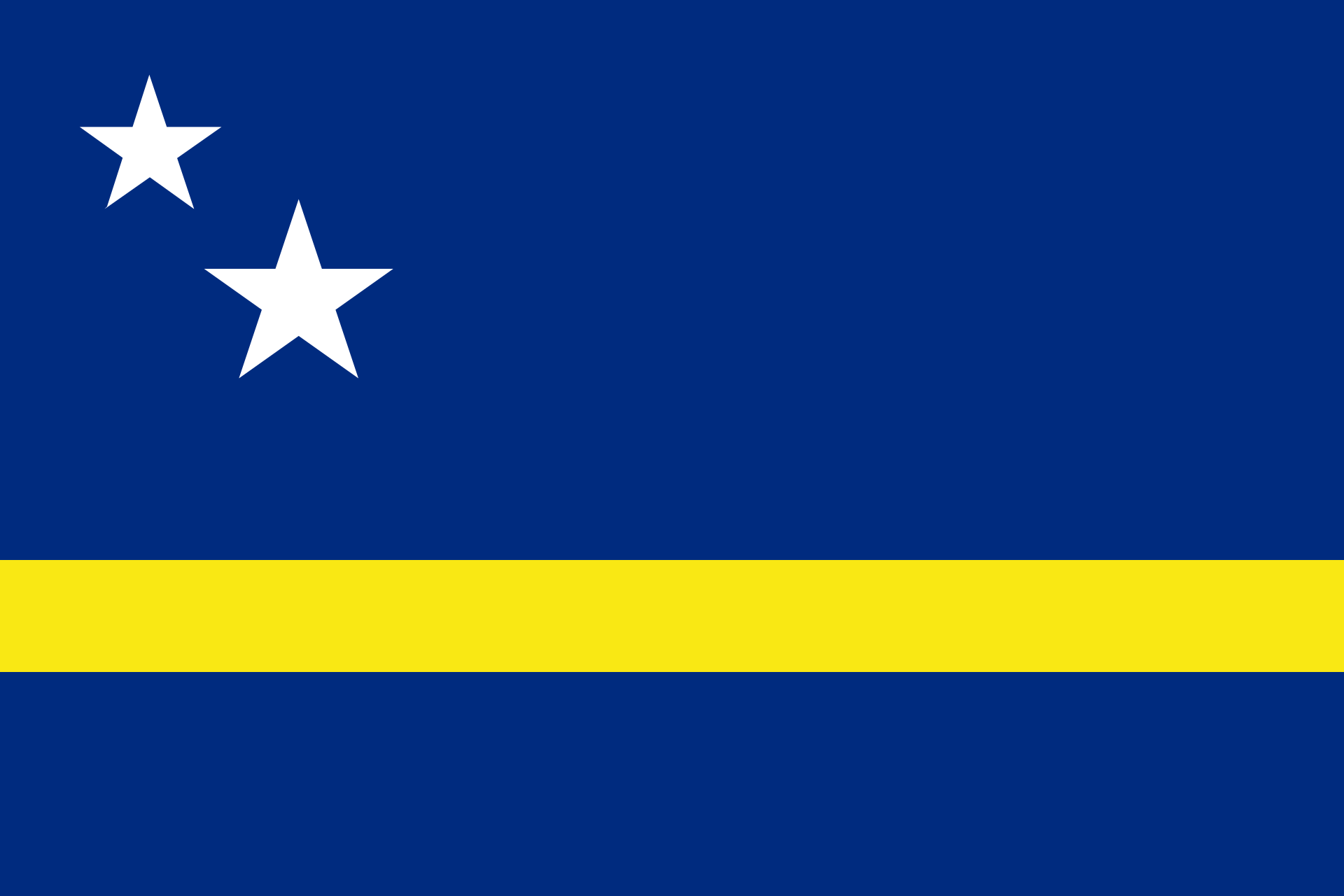 |
| Curaçao |
|
 |
| Sint Maarten |
|
 |
| Saint Martin (France) |
|
 |
| Guadeloupe |
|
 |
| Martinique (France) |
|
|
| Saint Barthélemy (France) |
|
 |
| Dominican Republic |
|
 |
| Haiti |
|
 |
| Navassa Island (USA) |
|
 |
| Puerto Rico |
|
|
| United States Virgin Islands (USA) |
|
 |
| British Virgin Islands |
|
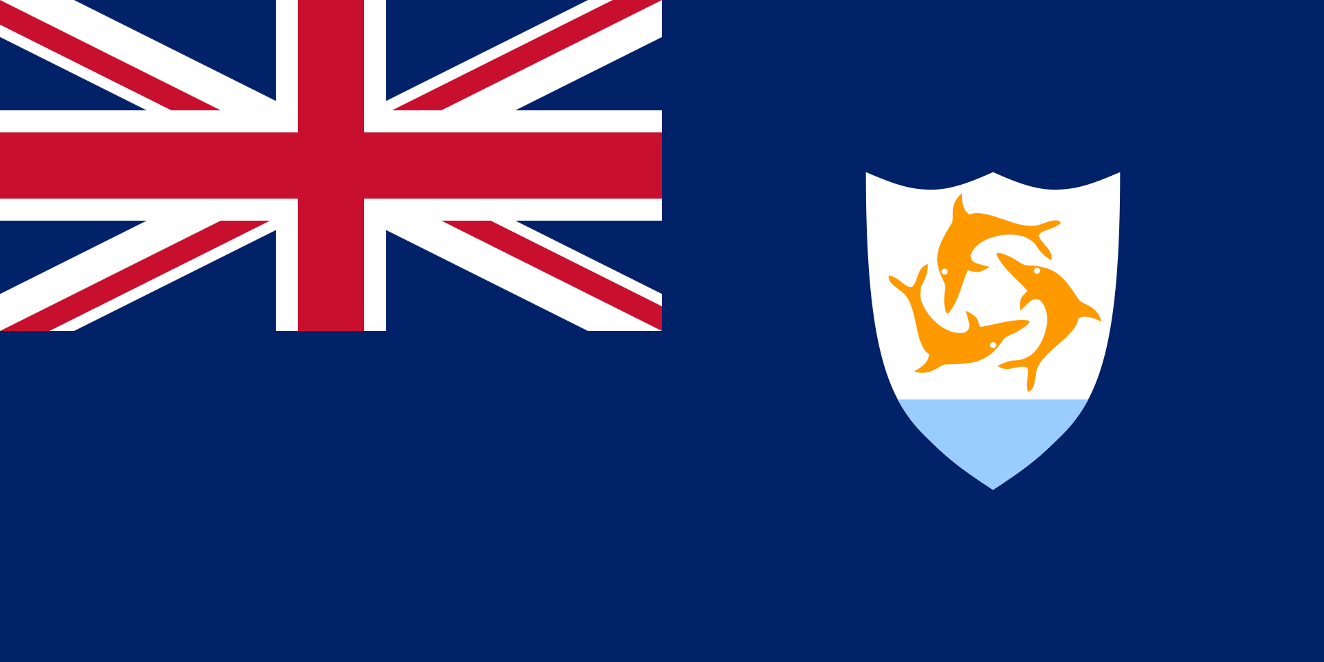 |
| Anguilla |
|
 |
| Cayman Islands |
|
 |
| Montserrat |
|
 |
| Turks and Caicos Islands |
|
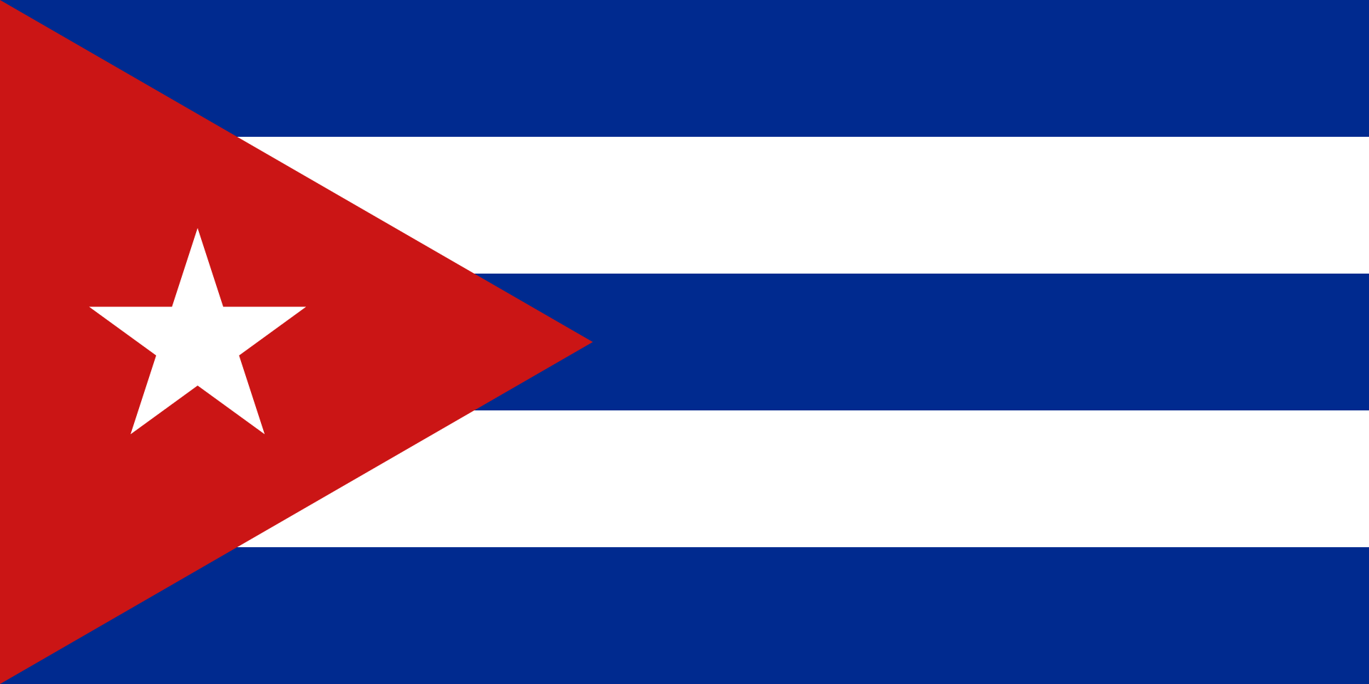 |
| Cuba |
|
 |
| Dominica |
|
 |
| Jamaica |
|
 |
| Grenada |
|
 |
| San Andrés and Providencia |
|
 |
| Federal Dependencies of Venezuela |
|
 |
| Nueva Esparta |
|
 |
| Trinidad and Tobago |
|
 |
| Saint Kitts and Nevis |
|
 |
| Saint Lucia |
|
 |
| Saint Vincent and the Grenadines |
|
Caribbean countries flags
Other Recommended Reading
More Interesting Articles
 by
by